
I am a Geospatial-Artificial Intelligence (GeoAI) expert interested in the application of GIS, remote sensing, numerical and computational intelligence techniques for the optimization of decision-making and operations of different industries.
I possess more than nine years’ experience in various roles involving geospatial data analytics and intelligence. In the course of my active engagement with large volume of complex data, I have developed strong technical skills that involve the utilization of high level programming such as Python, Matlab and R; as well as the utilization of various data mining and machine learning algorithms such as K-Nearest Neighbors, Random Forest, XGBoost, LightBoost, Convolutional Neural Network (CNN) among many others.
I have prepared data for visualization and spatial analysis in various platforms and capacities in order to generate insights for informed decision-making. Additionally, I enjoy collaborating with researchers from different fields to solve new challenges. Which places me in the position of a seasoned solution provider, having supported differnet geospatial/data-driven projects both locally and internationally.
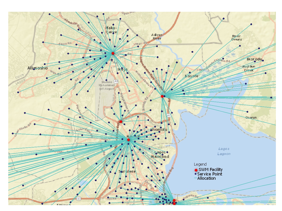
I enjoy providing geospatial intelligence solutions for the optimization of decision-making. I create custom vizualizations using various GIS tools
learn more
I support consultants and other professionals in solving specific data-driven problems. Having interacted with various complex data to optimize operational processes.
Learn more
I am interested in the applications of innovative technologies for sustainable environment and public health.
Learn more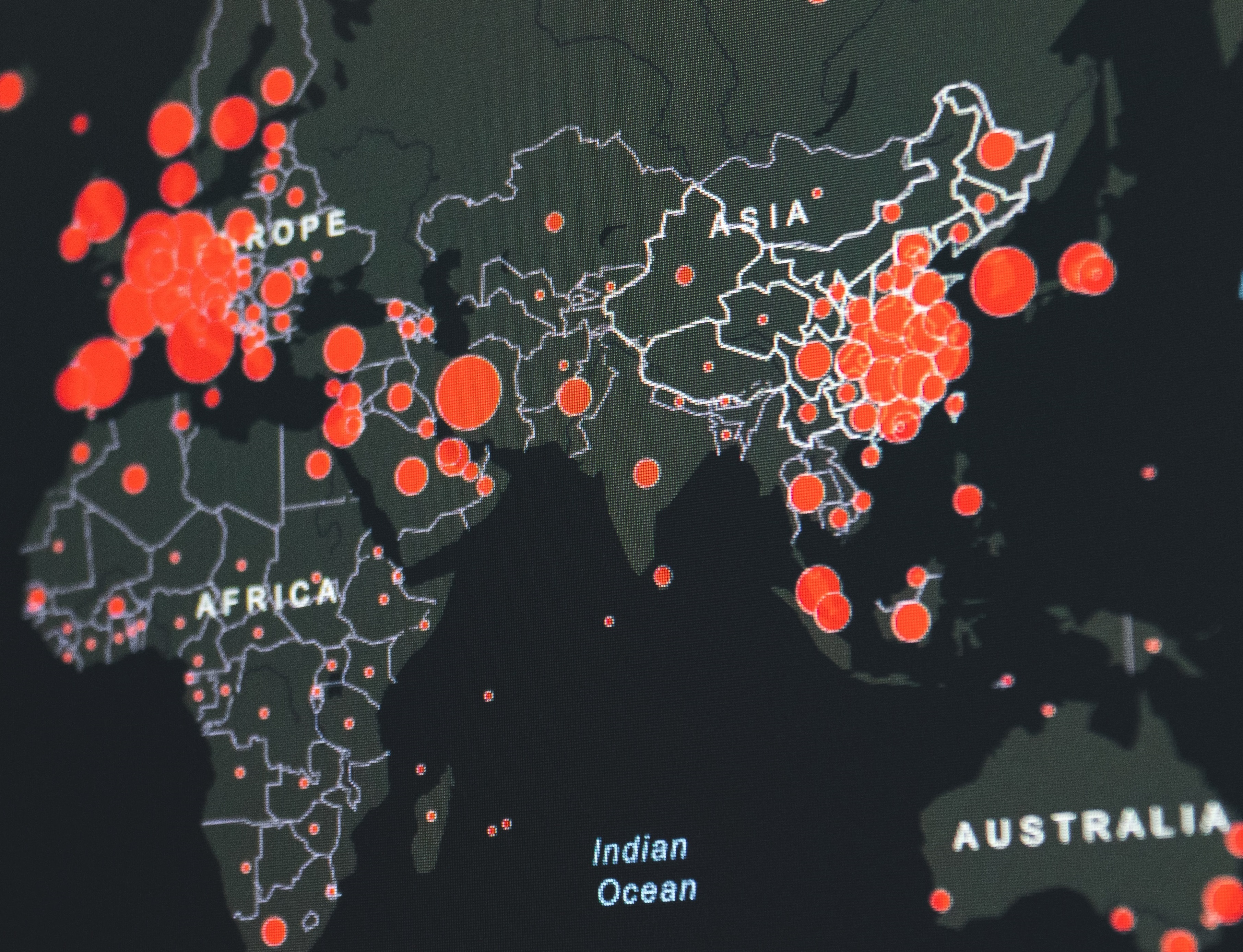
I spend most of the time enhancing my web GIS/web mapping skills in order to solve specific problems
Learn more